
North Port Garden City, Copenhagen
The dramatic potential of the Nordhavnen site for a new vibrant and ecologically sound extension of Copenhagen has shaped our proposal. We planned the city as a thick and dense longitudinal cluster along a new subway line with a direct connection to the city-center. The plan is simple: it minimizes the distances travelled by the inhabitants by concentrating the greatest viable density in the closest possible proximity to public transportation.
In order to achieve the optimal rapport between density and efficiency, we consolidated and concentrated building mass and open space into distinct and adjacent realms rather than distributing them evenly across the site. The building mass is packed along the transportation infrastructure to constitute a dense urban core while large areas are cleared or preserved as open space. The advantage of this strategy of consolidation and differentiation is twofold: it results in a dense pedestrian-oriented realm that thrives on the synergy of proximate and concentrated amenities; it also yields urban parks that are large enough to accommodate expansive activities and viable ecologies.
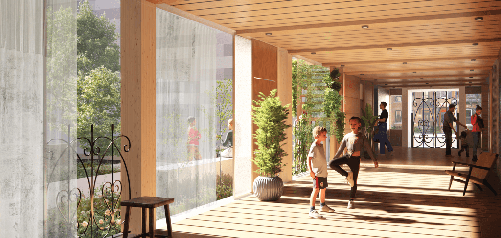
We maximized density without compromising the quality and viability of the urban environment through a combination of innovative and traditional building types. Stacked row houses and point-entry perimeter blocks make up the fabric of what we have called the garden neighbourhoods to the east and west of the subway line. These neighbourhoods draw upon the sedimented wisdom of long evolving building typologies -flexible, historically rooted, continuously updated and modern.
Down the central spine of the project a zig-zag of buildings that combines mid-rise and tower forms rises from vaulted passages. These vaults criss-cross a central landscape over the subway line. At stations the vaults extend downwards becoming the walls of the below-ground station and, in doing so, bind together the world of transportation underground to the beautiful vaulted park-scape above. The public infrastructure of transportation (the subway) is lent a unique collective language that appears in each of the new subway line stations and shapes the public domain at the base of buildings built over this line of mass transit. The surfaces of the vaults and station walls could be of coloured tile shifting in colour throughout the line’s length.
The vaulted forms along the central spine of the project represent a monumental and collective scale that gives sensuous form to the construction of large scale transportation infrastructure and relates it to individual buildings. At the other end of the scale a number of housing types from the smallest scale of cabanas, to “drift houses,” and flexible live work types accommodate the broad range of living arrangements and scales of formal organization appropriate to a diverse urban centre.
The link between Nordhavnen and existing urban matrix of Cophenhagen is affected through the extension of two streets, Silkeborggade and Arhusgade, from the existing urban grid. These streets pass under the railroad and bend up and into the primary alignments of the new Nordhavnen. In our proposal these streets are primary streets where commercial activity will be located and where secondary transportation infrastructure will run. The goal has been to establish the most seamless continuity possible between existing city and Nordhavnen extension.
Along these routes one passes a number of singular urban buildings, a new energy plant, a vaulted market hall/subway station (that introduces the themes of the subway/vault park infrastructure), and a columnar hall that opens onto the first of the series of slips that enter the Nordhavnen site from the east.

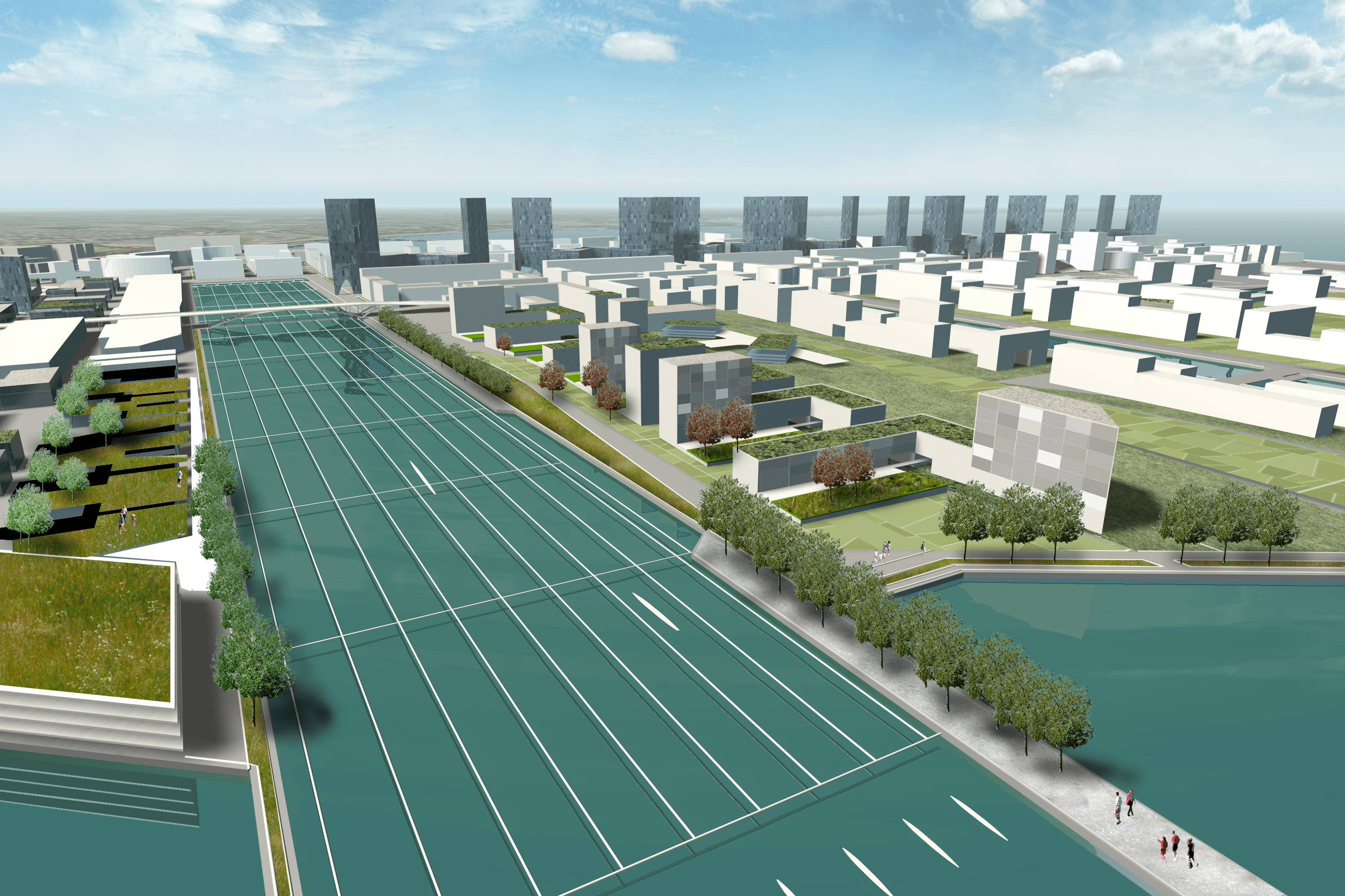
Further up, past a slip dedicated to competitive rowing one has entered the garden neighbourhoods. In these a series of secondary and tertiary roads introduce car-free bike and pedestrian networks in both the north east direction and east west. The pedestrian networks running east-west link the central areas of the project to parks to east and west.
The edges of Nordhavnen permit a great variety of public spaces. To the west we have established a curved parkside boulevard with wide tree lined sidewalks. This boulevard overlooks a long linear park looking back to land and an existing marina. To the east each slip is lent a distinctive programmatic identity. These include a ferry terminal slip, a slip dedicated to competitive rowing, the next is a narrow residential slip, the last combines a cruise ship terminal with, hotel, commerce, a beach and a large Olympic pool located on an island within the slip. Spectacular public spaces alternate with more daily function and dwelling in these thematically distinct meetings of water and land.
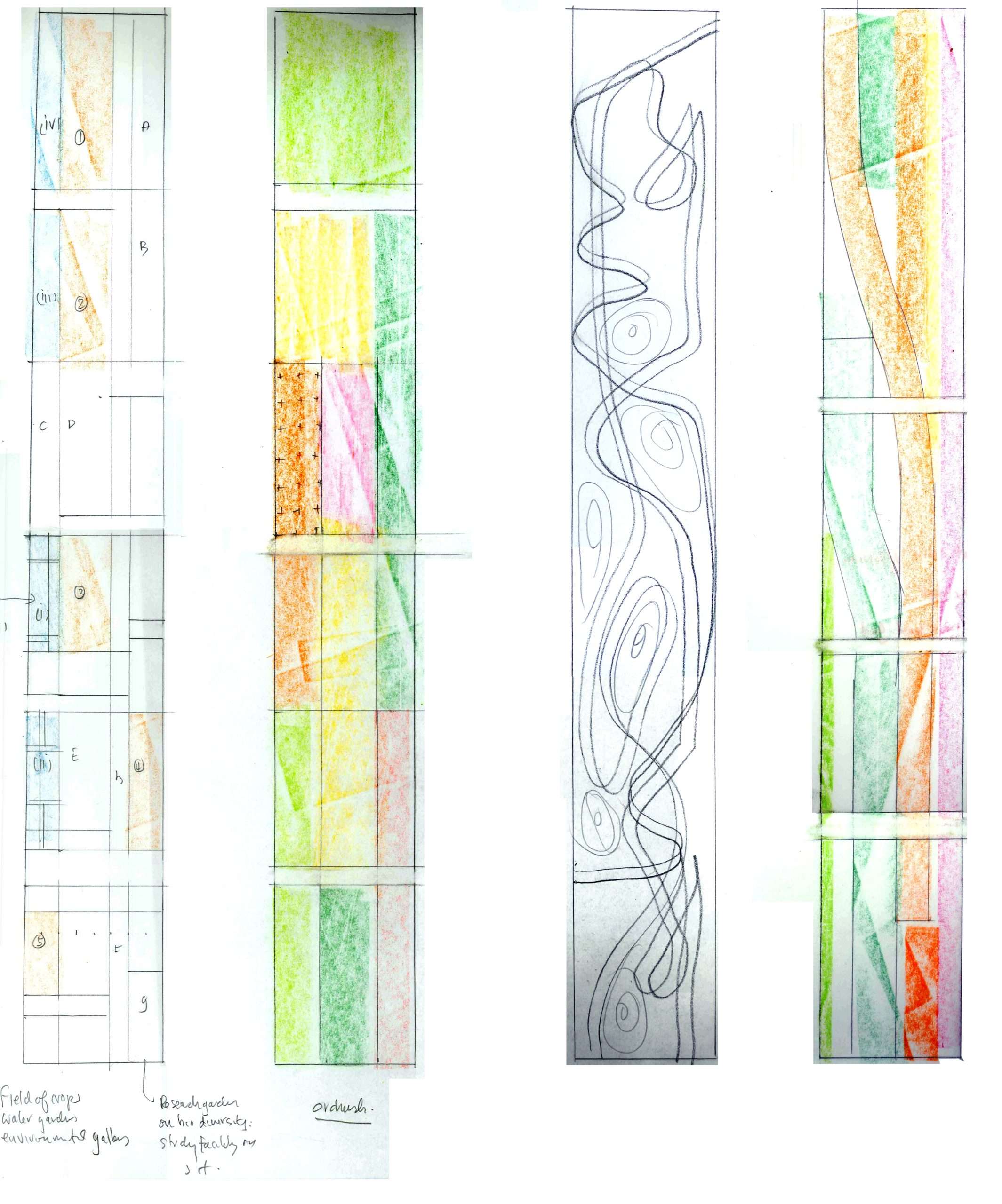
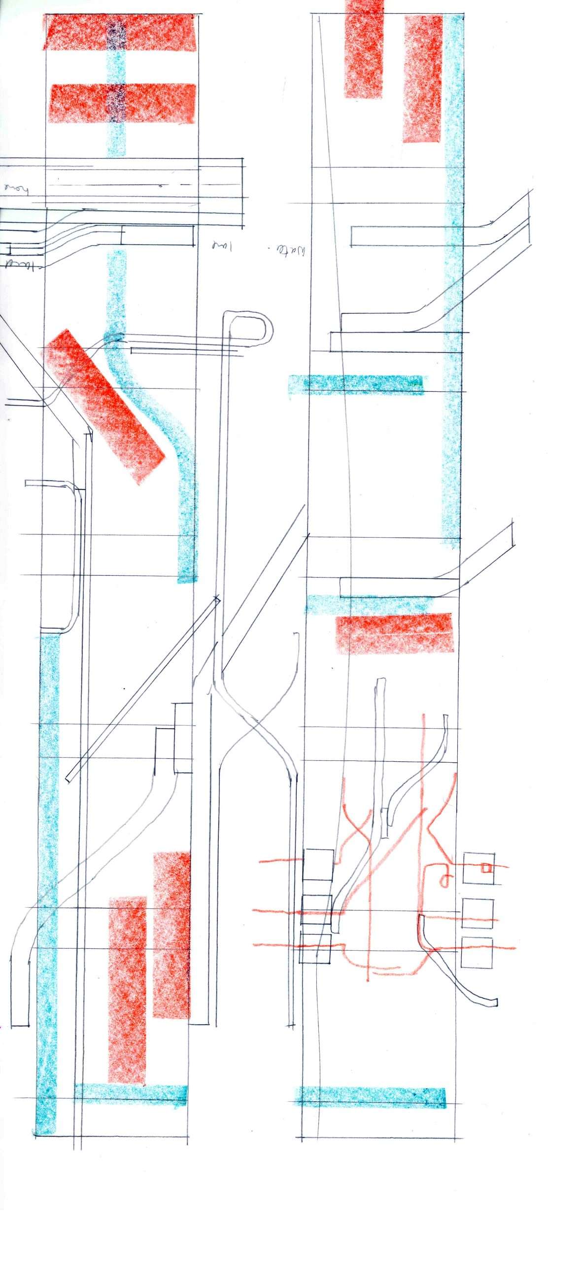
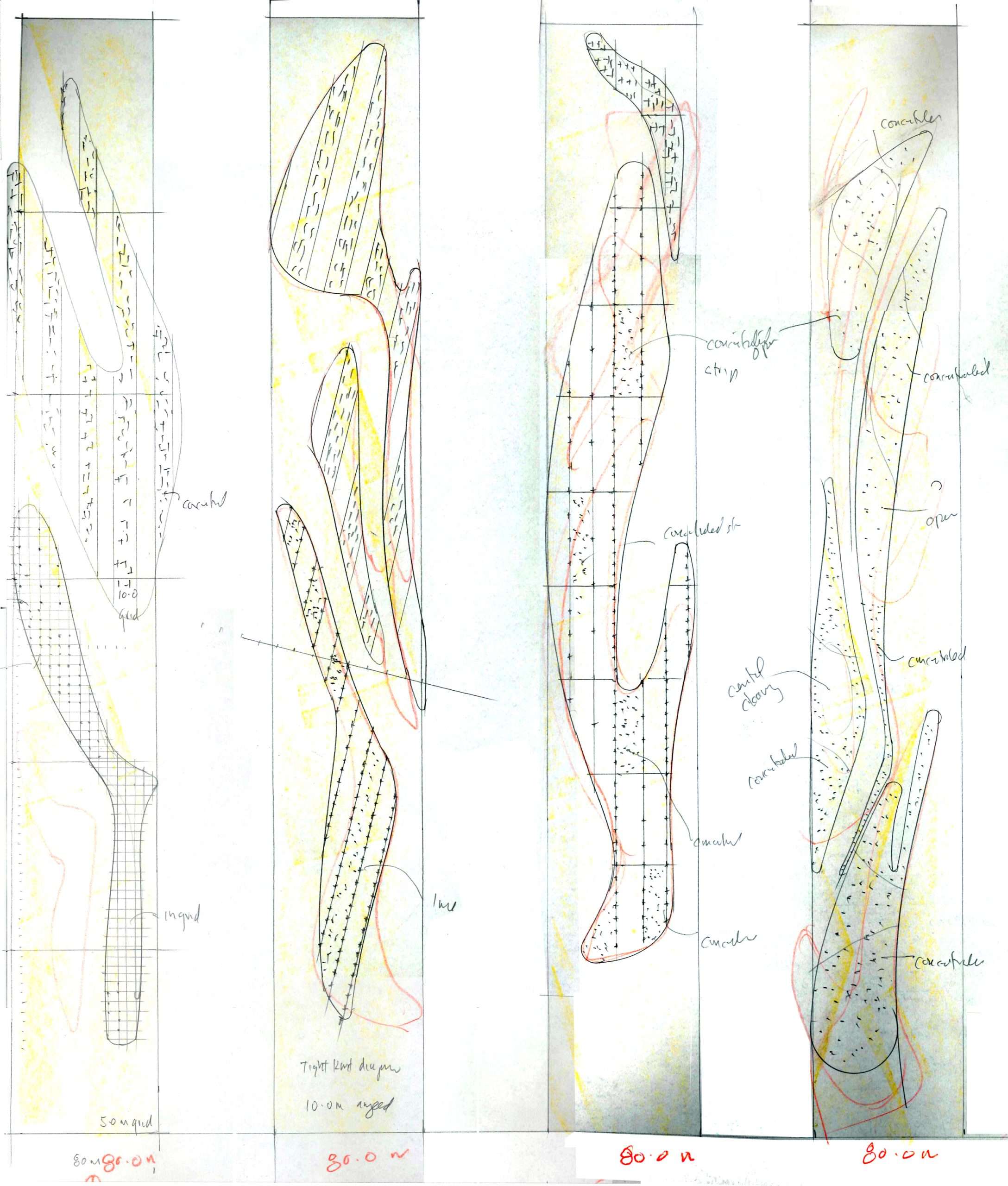
Sketches